


- GEOGRAPHY
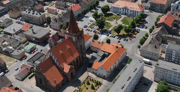
- HISTORY AND LOCATION
- THE COAT OF ARMS OF THE ADMINISTRATIVE DISTRICT
- THE PRESERVATION OF NATURE
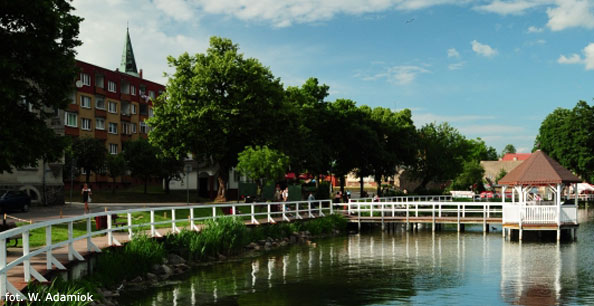
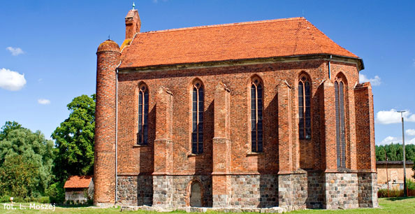
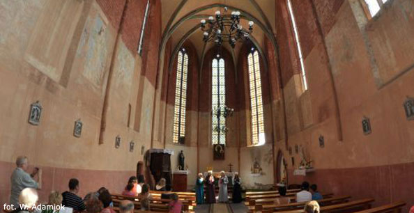
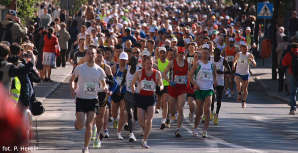
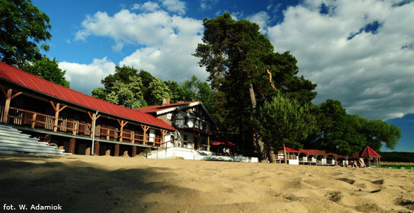
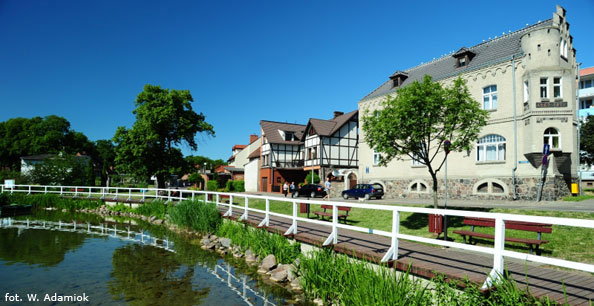
- TOURISM
- ACCOMMODATION


Gmina Boleszkowice
 ul. Świerczewskiego 24
74-407 Boleszkowice
tel. 95 760 61 24
boleszkowice@boleszkowice.pl
Miasto i Gmina Myślibórz
 Rynek im. Jana Pawła II 1
74-300 Myślibórz
tel. 95 747 20 61
mysliborz@mysliborz.pl

Gmina Nowogródek Pomorski
 ul. A. Mickiewicza 15
74-304 Nowogródek Pomorski
tel. 95 747 17 60
sekretariat.gm @nowogrodekpomorski.pl
HISTORY AND LOCATION
The history the beginning of the administrative district myśliborski reaches the year 1816 when thePrussian authorities passed the administrative reform. This administrative district (Kreis Soldin) consisted of cities: Myślibórz, Barlinek, Lipiany, Pełczyce. Without any changes the administrative district in such borders survived to the year 1945.
After taking over of westerly Pomerania by Polish authorities in 1945 administrative divisions almost did not change. The administrative district myśliborki included cities: Myślibórz, Barlinek, Pełczyce. The administrative district bordered in the west with the administrative district chojeński with the seat in Dębno. The chojeński district included civil parishes of Dębno and Boleszkowice. Both administrative districts were part of the szczecińskie province and bordered with the zielonogórskie province.
In 1975 an administrative reform was passed in Poland, within the framework of which administrative districts were supressed. All parishes of myśliborski administrative district and the part of parishes the chojeński administrative district got included into to a newly formed gorzowskie province.
After 24 years in 1999 the next reform restores three-gradual system of administration. Myśliborski administrative district comes into being in the zachodniopomorskie province . The administrative district includes civil parishes of Barlinek, Boleszkowice, Dębno, Myślibórz, Nowogródek Pomorski.
The area of the administrative district amounts 1187 sq km (it is about 129 sq km greater than in 1945). This is a middle-sized administrative district in the scale of the province. It creates the area of the length of 68 km and the width of 14 - 20 km.
In the south-west a border of the administrative district is the State-border with Germany, in the south-east the district borders with lubuskie province (administrative districts: gorzowski and strzelecko-drezdenecki). Remaining borders are district borders - in the west with the gryfiński administrative district , in the north with administrative districts: pyrzycki and stargardzki, and in the east with the choszczeński administrative district .
The number of the population of the administrative district in 1965 amounted 46,500 (two greater cities). After the reform in 1999 the number rose to 70,308 (the data from 30.06), and in 2001 - 69,916 (the data from 31.03). On 1 sq km lives about 59 persons, what determines the average density of population comparatively to other administrative districts of the zachodniopomorskie province .


eURZĄD
![]()
![]()
![]()


![]()
![]()
Kalendarz imprez
| Grudzień 2020 | ||||||
| Pn | Wt | Śr | Cz | Pt | So | Ni |
| 1 | 2 | 3 | 4 | 5 | 6 | |
| 7 | 8 | 9 | 10 | 11 | 12 | 13 |
| 14 | 15 | 16 | 17 | 18 | 19 | 20 |
| 21 | 22 | 23 | 24 | 25 | 26 | 27 |
| 28 | 29 | 30 | 31 | |||

ISO 9001